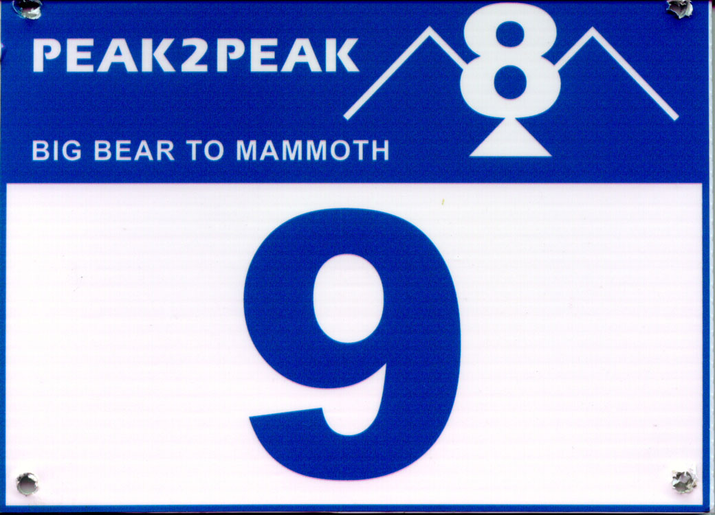
Peak to Peak Pedal 2002
Annual bike ride from Bear Mountain to Mammoth Lakes in support of the US Adaptive Recreation Center
Thanks to your generous support, Peak to Peak 8 was a great success again this year. There were 20 riders until the intrepid Rockie joined the group on day three. Eighteen riders were on various models of conventional bicycles, and they were joined by Beth and Dave on hand-crank tricycles. The weather was generally splendid with minimal winds and plenty of sunshine. The support staff was exceptional, and the excellent food and welcomed massages seemed to mellow the miles and cushion the climbs
Big Bear Lake to Barstow
The group began assembling in front of the Adaptive Recreation Center "shack"
in the parking lot of the Bear Mountain Ski Resort at 7:00 AM on Wednesday,
9 October. The skies were clear with the temperature in the lower 40s. We greeted
old friend, introduced ourselves to first-time riders, loaded the gear trailer,
and readied our bikes for the task ahead. Breakfast was served at the golf course
clubhouse across the street where we gathered for a final briefing and picked
up the day's route. Back across the parking lot, we posed for the requisite
group photo and were riding out by 9:17 AM. There is a slight uphill grade to
the east end of Big Bear Lake, which serves as a good warm-up before the descent.
With a 16% grade, the tortuous drop from 7,000 to 4,000 feet in the Lucerne
Valley is equally exhilarating and hair-raising. Most covered the first 25 miles
in about an hour, so a rest stop was not imperative; a good thing as the motor
home scheduled for the stop was delayed with mechanical problems. Within 12
miles, we encountered our first of many climbs - a gradual 5-miler A good introduction
to the climbing to follow, but today there is a reprieve as the ascent is followed
by a 2-mile descent to lunch at mile 45. Other than one shorter climb, the final
leg of the day is a gradual downhill, which quickly spins the last 15 miles
of desert terrain into Barstow and our campsite at Dana Park. (Day 1:
58.4 miles, averaging 17.8 mph)
As riders straggled in, and the gear trailer was unloaded, a tent city emerged
in impressively rapid fashion. After refreshing and restorative hot showers
at the Community Center across the street, we were treated to the first of a
series of excellent hot meals. Click
for a few Day 1 photos.
Barstow to Ridgecrest
Early to bed induces early to rise, and the tent disassembly started at the
crack of dawn. Following a high-calorie breakfast, we pedaled off under clear
skies with temperatures in the low 60s. The day's route wound through downtown
Barstow and out the back roads past an entrance to Fort Irwin - home of the
World War II Mojave Anti-Aircraft range, and now site of the Department of the
Army National Training Center. In short order we were headed west on Route 58
- the Las Vegas to Bakersfield truck route - which we shared, albeit on a wide
shoulder, with high velocity big-rig traffic for the better part of 30 miles,
save a 7 mile stretch south of the highway on local community roads. The route
for the day included Red Mountain, which had to be conquered in the 40 miles
before the day's destination. A sinister misnomer on the route slip, Highway
395 passes west of the mountain, without significant climbing, as it passes
through the desert mining towns of Randsburg and Johannesburg - named for the
South African towns from which the silver miners hailed. The "real"
climb came soon enough… after a steep descent to a dry riverbed. It was
a difficult, long grind, up to the "false summit," that quickly changed
relief to resolve. Once over the top of the actual crest, it was a rapid ride
into Ridgecrest and the Desert Empire Fairgrounds. (Day 2: 83.6 miles,
averaging 17.0 mph) Click
for a few Day 2 photos.
Ridgecrest to Diaz Lake
I awakened quite early and had a quick breakfast before heading out to a beautiful
sunrise on a crisp morning. The route headed north to the entrance of the Naval
Air Warfare Center Weapons Division, China Lake, before bending west back toward
Highway 395. By leaving early, I managed to miss the first rest stop but had
plenty of fuel and water... and the winds generally pick up later in the day.
The route passes Little Lake, which is at the southern end of the Owens Valley,
and the depository of what is left of the Owens River. The Sierra Nevada mountain
range is on our left, rising majestically out of the high desert. The lunch
stop at Coso Junction turns into a lengthy rest, as no one is anxious to re-challenge
the breeze. This year, the winds abated later in the day, so the late risers
benefitted. The remaining 35-mile ride to the Diaz Lake Campsite, just south
of Lone Pine, was significantly easier than last year. (Day 3: 78.6 miles,
averaging 14.6 mph) Click
for a few Day 3 photos.
Diaz Lake to Bishop
Another beautiful morning and an early start. The sun on Mount Whitney was quite
spectacular. Shortly after leaving Diaz Lake, Highway 395 passes through Lone
Pine where the portal to Mt. Whitney - the highest point in the contiguous U.S.
- branches off. This area is also famous for the Alabama Hills, where the old
westerns like The Lone Ranger and The Cisco Kid were filmed. Ten miles later
is Manzanar, the War Relocation Center that was one of ten camps at which Japanese
American citizens and Japanese aliens were interned during World War II. It
is in the process of being restored.
After a rest and refueling stop in Independence, and another 20 miles, the route
turns west toward Tinamaha Creek and campground. The destination was the fish
hatchery on old Route 395… and lunch. It was warm and comfortable under
the clear blue Sierra sky. We had a relaxing lunch and conversation with the
support crew and then proceeded on to our home for the night at the Tri-County
Fairgrounds. (Day 4: 62.9 miles, averaging 13.1 mph)
Camp was very slowly assembled as many of the riders had stopped at Rusty's,
the first bar on the right in Bishop. The dinner theme was Italian, and plates
were emptied and refilled in anticipation of the climbing in store tomorrow.
The backdrop for dinner was a spectacular Sierra sunset. Following dinner, the
van reloaded for a trip to Keough Hot Springs. There is nothing like a soak
in a natural Jacuzzi, in the Alpenglow of a fingernail moon, to facilitate total
relaxation. Returning to camp, we realized that we were again sharing the campground
with the square dancers as choruses of Do-see-do your partner and Allemande
left, further delayed bedtime. Click
for a few Day 4 photos.
Bishop to Mammoth Lakes
The morning was cool but, thankfully, no frost clung to the tents this year.
Sensing the end of the adventure, riders seemed to linger a bit longer this
morning. Breakfast was a leisurely, yet subdued, affair as the day's task -
climbing from 4,137 to 8,900 feet - was discussed. By 8:00 AM, the sun had crested
the White Mountains, on the California-Nevada border, and we were ready to ride.
The route took us on the old highway most of the way to Mammoth Lakes, passing
through Paradise, Tom's Place, Crowley Lake and Hilton Creek. The higher we
climbed, the more color the changing Aspen leaves exuded. With the golden-yellow
leaves sparkling under cobalt blue skies, punctuated by the towering Sierra…
and propelled by a gentle tailwind… the day could not have been more perfect.
At lunch, we reviewed plans to meet at a local Mammoth Lakes watering hole,
Grumpy's, so that we could regroup and make the final climb together. The last
leg of the journey was a 4-mile uphill grind to the Mammoth Mountain Inn at
the base of the Main Lodge of the Mammoth Mountain Ski Area. As the faster riders
arrived at Grumpy's over two hours before the last cluster, there was ample
time to "refuel" or "hydrate" - amid the din of multi-screen
sporting events - prior to queuing up for the ultimate leg. Everyone waited
about a quarter of a mile from the final destination until we were all together
again, and we rode to the finish line in a tight group - with one and all emoting
shouts of joy, accomplishment and relief… in addition to happiness and
delight as we were met with a shower of Champaign. By 5:00 PM we were sharing
congratulations and bubbly while the Ride Coordinator passed out room assignments,
keys and instructions for the evening banquet and ceremony. (Day 5: 48.3
miles, averaging 12.3 mph) Click
for a few Day 5 photos.
The meal at the Mammoth Mountain Inn that evening was superb - Chicken Marsala
and Beef Tenderloin, with salad, grilled potatoes and crisp veggies. Following
dessert, the Ride Coordinator passed out medals to the individuals who had completed
the ride while recognizing personal effort, unique tribulation and anecdotal
humor. Also acknowledged were the selfless contributions of the 15 to 20 volunteers,
without whom an event of this magnitude would not be possible. Afterward, while
some retired to the lounge bar, most yielded to the lure of commodious accommodations
after 4 nights under the stars.
All photographs that were taken during the event will be screened, organized
and scanned for inclusion on a CD that will be available sometime this winter.
Additionally, a collection of the best digital photos will be loaded on the
USARC web site, which you can view at http://www.usarc.org. Click on this link
or cut and paste onto your browser. Once the site launches, click on the Events
box on the top of the screen and then on the Special Events "cloud"
on the left-hand side of the new screen, followed by the Peak 2 Peak Pedal "cloud"
on the next screen.
Thank you all again for your kindness and generosity in contributing to this extraordinary event that greatly benefits the USARC so that they may continue to provide outstanding recreational opportunities for people with disabilities.